

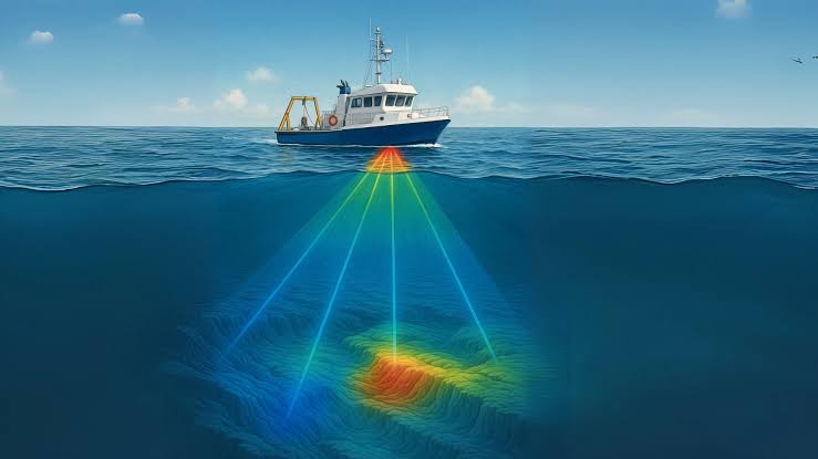
Article 16: Bathymetric Surveying — Modeling the Submerged Topography of Lakes, Rivers, and Oceans
While hydrographic surveying encompasses the broad navigation, charting, and maritime infrastructure requirements of oceans and major shipping lanes, bathymetric surveying is the specialized sub-discipline focused specifically on measuring, mapping, and modeling the depth, shape, and…
 5 mins read